Firm’s Experience: Control Survey
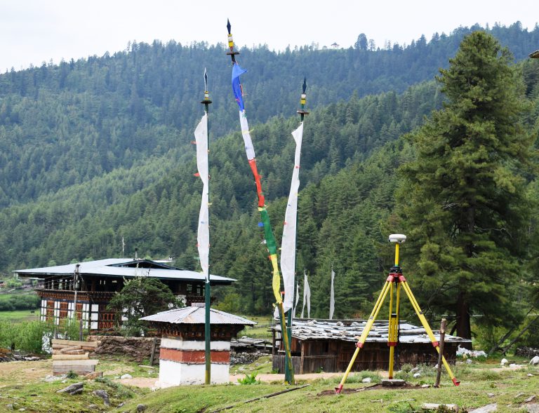
Control surveys are carried out to establish precise horizontal and vertical positions of reference monuments. These serves as the basis for subsequent surveys for projects such as topographic and hydrographic mapping, boundary delineations, road and construction planning, design and layout. We employ GPS/GNSS for the establishment of control points in static post-processing and RTK mode.
I. Control network for topographical Survey and Mapping of Trashigang and Rangjung Thromdes in static and RTK mode.
Client: Department of Human Settlement, MoWHS, Thimphu
- 36 Control monuments constructed and observed with GNSS in static mode.
II. GPS/GNSS Control network for Adit Survey of Nikachhu HPP (DPR) Trongsa.
- 12 Control monuments constructed and observed with GNSS in static mode.
III. Control network for topographical Survey and Mapping of Gamri HPP (PFS), Trashigang.
- 18 Control monuments constructed and observed with GNSS in static mode.
IV. Control network for topographical Survey and Mapping of Gyalposhing Town, Monggar.
- Client: Department of Human Settlement, MoWHS, Thimphu
V. Control network for topographical Survey and Mapping of Nganglam Proposed Regional Hub, Pemagatshel.
- Client: Department of Human Settlement, MoWHS, Thimphu
VI. Control network for topographical Survey, Mapping of Kurichhu Hydropower Plant Augmentation Project, Gyalpozhing, Monggar.
- Client: Druk Green Power Corporation, Thimphu.
VII. Control network for topographical survey at Chipchipokto and Thomendra, Nikachhu HPP, Trongsa.
- Client: Druk Green Power Corporation, Thimphu.
VIII. Control network for Topographical survey of 200 acres at Banglapokto, Trongsa for DGPC for Nikachhu HPP Dam site alternative 2.
- Client: Druk Green Power Corporation, Thimphu.